
Discover a city to the surprising heritage ! The Tourist office of Le Mans proposes you ten routes of visits in town to discover the districts of Le Mans sometimes badly known. Follow them and you will be under the charm!
CIRCUIT 1 : CITE PLANTAGENET
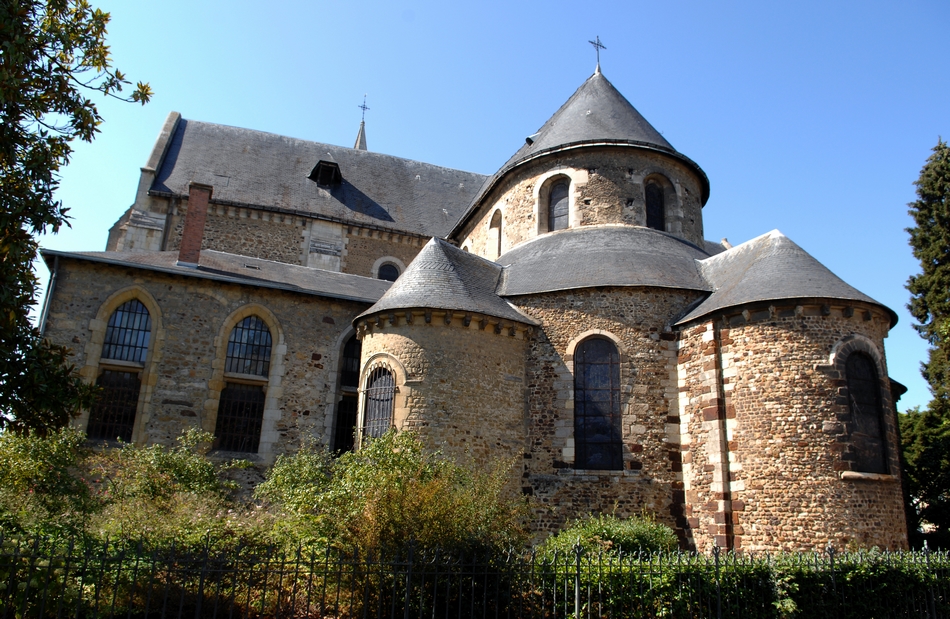
Cathédrale Saint-Julien >Escaliers des Pans de Gorron > enceinte > rue Saint-Hilaire >Grande Poterne >rue de la Verrerie > rue du Bouquet >rue Saint – Pavin de la Cité > Cour d'Assé > Grande Rue > rue Saint – Honoré > place Saint- Pierre>rue Rostov-sur-le Don > Place Saint – Pierre > rue de l'Écrevisse > Grande Rue > Square Jacques Dubois > rue Reine Bérengère > place Saint- Michel. (Environ 2km, durée : 30mn)
CIRCUIT 2 : QUARTIER SAINT NICOLAS
Rue des Ponts Neufs >Place de la Sirène > rue Marchande >rue Bolton > rue Saint – Martin > rue de la Perle > rue Saint- Jacques > rue de l’Etoile > rue Jankowski > Place de la Sirène > rue Claude Blondeau > Carré Plantagenêt. (Environ 1km, durée : 15mn)

CIRCUIT 3 : QUARTIER CENTRE VILLE
Place de la République > boulevard René Levasseur > Place Aristide Briand > rue des Minimes > place de la République > rue Gambetta > rue Paul Courboulay > rue Pasteur > Place des Halles > rue du Vert Galant > rue Gambetta > Place de la République. (Environ 2,5 km, durée : 40mn)

CIRCUIT 4 : QUARTIER BOLLÉE – SAINTE - CROIX
Rue du 33è Mobile > rue Gougeard > avenue Bollée > rue Jeanne d'Arc > rue Notre – Dame > rue de l'Éventail > Jardin des Plantes > rue Prémartine > rue Cauvin rue des Arène s> rue Bruyère > rue des Gladiateurs > Place ( Esplanade ) des Jacobins. (Environ 3,5km, durée : 1h)
CIRCUIT 5 : QUARTIER SAINT - VINCENT
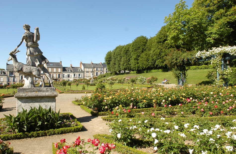
Avenue de Paderborn > rue Montesquieu > rue Lionel Royer > rue de l' Abbaye Saint – Vincent > rue de l’ Enclos > rue de Bellevue > rue Maurice Loutreuil > Place de la Croix de Pierre > boulevard Général de Négrier > rue de la Rivière > rue Julien Bodereau > rue de Tessé > Parc et jardins de Tessé. (Environ 4km, durée 1h)

CIRCUIT 6 : QUARTIER CHASSE ROYALE
Rue du Dr Galouëdec > Place de l’Église Notre – Dame du Pré > rue Ducré > rue Montoise > rue du Sergent Lebouc > rue Phillipe > rue de Beaulieu > Place du Souvenir Français >Cimetière de l' Ouest > avenue François Chancel > rue du Port à l' Abbesse > rue de la Blanchisserie > rue du Pré > rue Voltaire. (Environ 4km, duée : 1h)
CIRCUIT 7 : QUARTIER SAINT – PAVIN DES CHAMPS
Rue de Ah Ah ! > rue Montoise > Place Gambetta > rue Gambetta > Boulevard Paul Chantrel > rue du Pavé > rue Saint – Pavin des Champs > rue Guillot Ami > rue Hucher > rue de l'Union > rue des Perrons > rue Gambetta. (Environ 3km, durée : 45mn)

CIRCUIT 8 : QUARTIER GARE
Avenue Général Leclerc > place du 8 mai 1945 ( gare Nord ) > Gare Sud ( par le passage souterrain de la gare ) > boulevard Marie et Alexandre Oyon > rue Étoc Demazy > rue Delarue > boulevard Demorieux > boulevard Robert Jarry > boulevard Lamartine > rue d'Arcole > rue d'Essling > rue Auvray > avenue Général Leclerc. (Environ 3km, durée : 45mn)

CIRCUIT 9 : QUARTIER MISSION
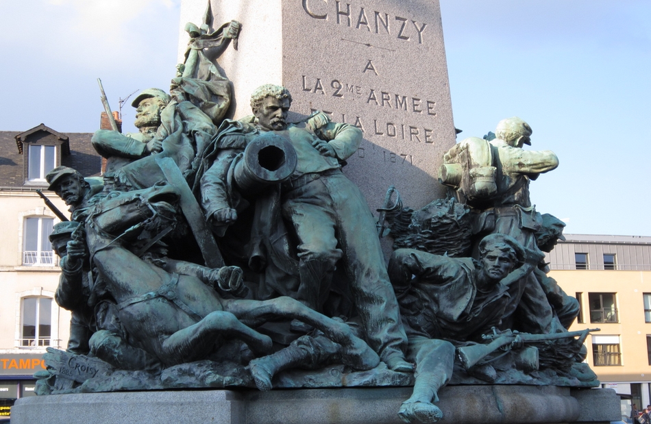
Rue Nationale >Place Washington > rue Chanzy > rue Victor Hugo > rue Nationale. (Environ 1,5km, durée : 25mn)
CIRCUIT 10 : QUARTIER PONTLIEUE
Avenue Jean Jaurès > Place de l'Église Saint- Martin de Pontlieue > Place Adrien Tironneau > rue du Bourg Bas > Passerelle des Vendéens > Place de l'Église Saint- Martin de Pontlieue > rue du Repos >rue des Sablons > rue de Villeneuve > rue de la Bertinière > rue de la Mare > avenue Jean Jaurès. (Environ 4,5km, durée : 1h10mn)

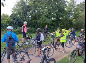
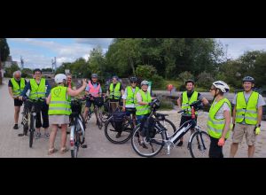
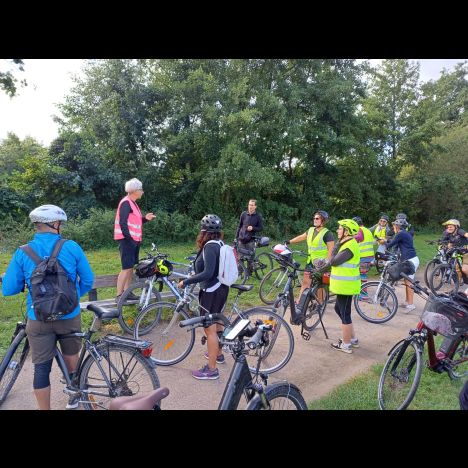
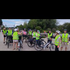
Numerous hiking trails allow you to discover the Le Mans country, its historical remains, its parks, its rivers, its farmland and forests. Marked trails allow hikes of several hours across the city and the sunken roads of the city.
Since September 2014, a map "tram Nature" allows you to discover the "green" areas accessible by tram. It is available at the Tourist Office. Find it here.
The Arche de la Nature, the woods of Chaoué (archaeological site of the Fairy Tower), the Nature Boulevard, which eventually will wind around the city, are all possible walks and hikes from Le Mans.
Many hiking trails are available on the interactive map of the Arche de la Nature
PDF map of remarkable trees of the Ark of Nature:
From the car park of the Orchard, to the Ark of nature during the summer, a carriage pulled by two Percheron you walk in the woods and groves to the farm of the Prairie.
Le Mans Métropole and the Departmental Committee of hiking with the help of IGN, publishes a map at 1 / 35,000th "Discovering paths." (It is available at the Tourist Office: € 1.50).
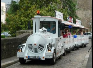
By the summer, go Place the Jet d'eau, place of departure of the train that offers rides in the historic city and downtown.
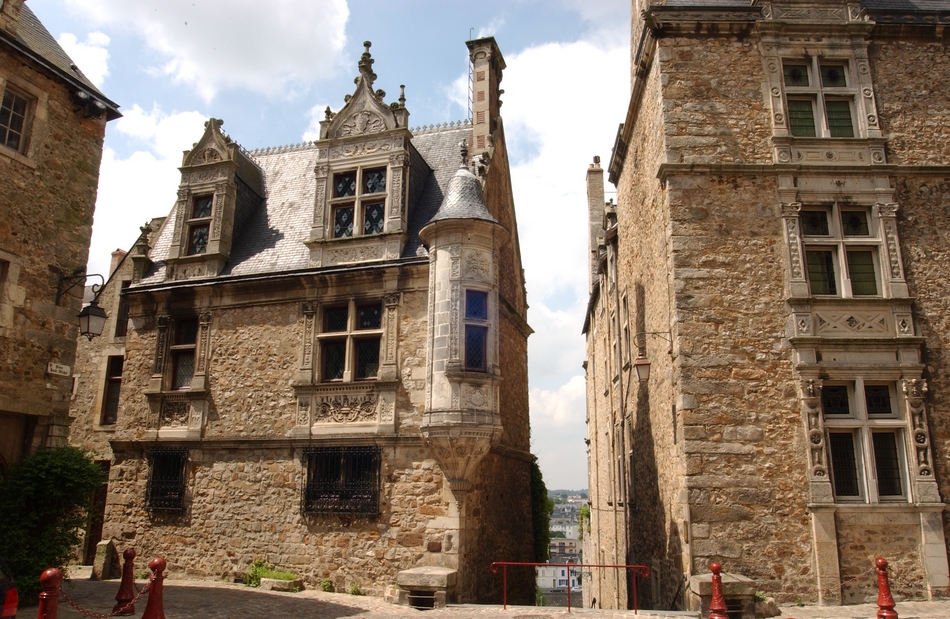
Total immersion in the heart of the Plantagenet City, known for its decor and location for period films! You will be surprised by the beauty of the Plantagenet City, the wealth of classified mansions, houses with wood sides, the St Julien Cathedral. A magical moment!
Find the path of the train to the Tourist Office and the following brochures:
Confluence path (Southwest District)
Circuit of Parks and Gardens (North East District)
Circuit Park in Park ... (Northwest District)
Tours for disabled people
Hunt chimeras
Treasure hunt
On the Country of Le Mans and the other countries of the Sarthe, download the PDF of the different walking or cycling routes on: www.sportsdenature-sarthe.com